 A day or so back, I blogged about a couple of trackers, including Nick “Big Oceans” Jaffe and his solo passage home to Oz. He commented on the post and gave some details about his tracker. If you are interested in new communications technology for sailors you should check out Nick’s site as it is pretty tricked out.
As a nerd myself, I am a little in awe. I am not sure what GeoXML is but I want one:
Hey Adam,
I thought I would double-nerd your post with some info about my new
tracker… It is Flash application fed with GeoXML, that includes my
geo-referenced Flickr photos (clicking the white icons brings those up)
and a GeoXML export of my positions, which have been maintained
throughout my trip since Holland.I update my position over Iridium using email, which then
cross-posts my message to Twitter. I’ve just added stats to my updates
too, which will include speed over ground, heading, 24 hour run, miles
to destination etc… Which will also be updated to Twitter when I
start my next leg (waiting on Hurricanes here in Honolulu…). My
tracker is part of a bigger project.As I am a bit of a tracking geek, I might add that the Rolex tracker
is written by Geovoile, a French company. Their race tracker is in a
lot of big European racing, including the recent Portimao Ocean Race (http://www.globalracetracker.com/en/). One of the neat things about their tracker is the weather/GRIB overlay. 😉Ok, no more nerding.
Cheers, Nick

Thanks Adam 🙂
[shameless self promotion]
If anyone is interested in this stuff (specifically SPOT Messengers, Twitter, and maps) I built this which is open for all: http://www.sat2twitter.com
[/shameless self promotion]
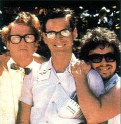
P.S In your posts attached photo, I’d like to be the guy in the middle – I always need a pen.